
Process Cost Accounting Under Control – Transparent Operating Costs Thanks to OPTIMUS
July 10, 2014
Version 1.4 of the Module Inspection Graphics+ available for NRM Wastewater
September 15, 2014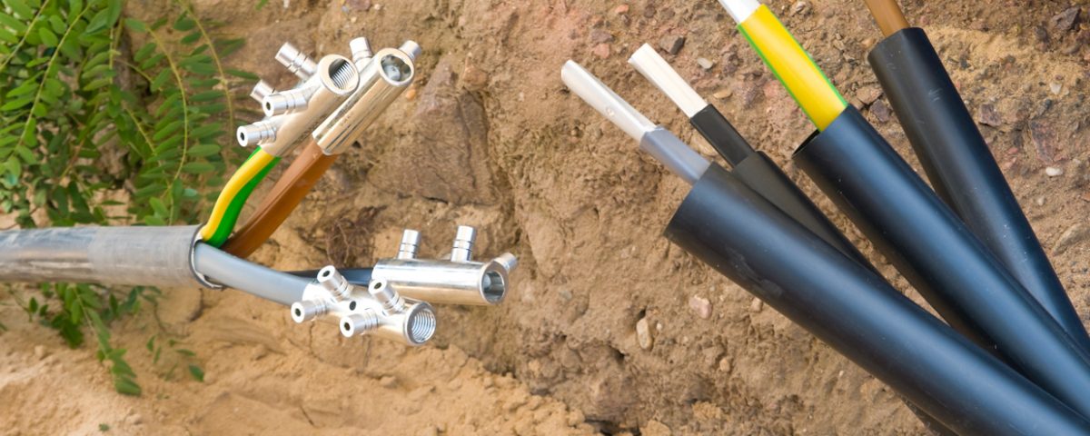
Aachen/Paderborn, July 2014.
When taking over concessions for electricity and gas grids, the question arises of how to deal with GIS data. STAWAG from Aachen opts for second data entry by Mettenmeier GmbH. The article “The cards are reshuffled” appeared in the July 2014 issue of Business Geomatics.
Link to the website of Business Geomatics
According to a landmark ruling of the Federal Court of Justice (BGH) in 2009, old concessionaires of electricity and gas grids must sell their grids to the new concessionaire when the concession is handed over. Since then, competition for the grids has been fierce. After many contracts had expired, many grids were transferred, although various legal uncertainties still existed. Experts even expect the dynamics to increase, as the Federal Court of Justice clarified in a further landmark ruling at the end of last year the conditions under which municipalities may grant rights of way for electricity and gas grids to an energy supply company, thus making the legal framework more transparent when drafting concession contracts.
In addition, the current economic situation, in particular due to the historically low level of interest rates, is favouring a restructuring of the municipal economy. Newly established municipal utilities, which now operate the grids themselves, but also established supply companies with strategic growth targets, have assumed responsibility for the grid infrastructure and thus also for the GIS data of the new grid areas. In 2013, for example, there were more than 30 expired concessions in the electricity sector in NRW alone and more than 20 in the gas sector with an upward trend. Concessions for water distribution networks are also frequently handed over in the course of this redistribution. The following applies to everyone: At the time of grid takeover, the new concessionaire or grid operator must be able to provide information. The GIS departments will inevitably be confronted with new data projects.
Migrate or reenter new data?
However, it is often the case that several different GIS are merged with differently distributed databases in order to obtain an overall view of the grid situation. There are various migration routines to transfer the old data into the new structures and at the same time to secure or improve the information content and data quality. The alternative to this is a second data entry, i.e. to completely rebuild the data stock.
But which option should the grid operator choose? Faced with this decision, STAWAG from Aachen relied on external expertise. The regional supplier from the border triangle (Belgium, the Netherlands, Germany) is pursuing a growth course and has taken over concessions around the former urban supply area in Aachen as well as in areas in the wider surrounding area.
At the end of last year, for example, around 1,200 kilometres of electricity from the new concession areas of Simmerath and Monschau in the nearby Eifel region had to be integrated into the existing Smallworld GIS target system. STAWAG relied on Mettenmeier’s data experts for detailed consulting.
After comparing the options “migration” or “second recording” and other factors, STAWAG decided on a second recording of the electricity distribution grids. According to STAWAG, the plans provided by the former concessionaire RWE from a Sicad system were available in good digital quality, so that Mettenmeier was able to complete the data transfer after a project period of around four months.
Economical with second recording?
The decision that STAWAG had to make is typical for the takeover of concessions, in the course of which GI systems are frequently consolidated. In principle, the question of the most technically and economically sensible procedure always arises for future concession holders. “As GIS data of the old concessionaire is usually already available, possible alternatives are migration, data re-entry or a mixed procedure of both,” says Jürgen Rehrmann, Head of Grid Data Services at Mettenmeier GmbH in Paderborn.
Second entry in this context means the capture of digital plans in the target system. It is assumed that manual sketches or other analog documents have already been digitalised and that topologically correct and high-quality grid data as well as complete and clearly legible plans are available. “Compared to the initial recording, this reduces the effort by about half,” says Rehrmann. This procedure has proven to be particularly effective if a migration between two different GIS has to be carried out.
Migrations, especially between different GI systems, are complex and often require a higher effort for the GIS department of the grid operator. “But migration between the same systems also tends to be demanding due to individual data models,” says Rehrmann. For large amounts of data and grid lengths, however, it is worth defining migration routines in order to make the actual work of data transfer as fast and efficient as possible. Depending on the data quality requirements, additional measures for data preparation may be necessary. The challenge with data duplication lies in the fact that it requires a company-compliant data entry scheme right from the start.
Critical factors
Basically, the decision to migrate or second recording is significantly influenced by factors such as grid lengths, source and target systems, coordinate systems, data quality requirements and the location accuracy of the grid. Therefore, according to Mettenmeier, some critical questions should be examined prior to a GIS data project in order to make the costs for GIS data transfer transparent and plannable.
On the one hand, this concerns the coordinate system. Often the GIS data to be transferred are not on the same coordinate system as the existing GIS data of the supplier. According to Mettenmeier, less effort is usually to be expected with identical source and target systems. Secondary data entry has proven successful with different systems. Often, overseas service providers are also consulted in combination with a mature quality assurance process in Germany in order to ensure fast project progress with large amounts of data.
The type of documentation also determines the effort. With electricity grids, different types of documentation (route versus multi-line) cause additional effort. The same applies to voltage level separation or pressure level separation in gas grids. Depending on the quality of the source data and the data quality requirements in the target system, a second entry makes more sense. The criteria concern legibility, position accuracy, dimensions, distances, labels. With dimensioning, for example, the challenge often lies not only in the standardisation of different dimensioning systems, but also in the error potential associated with the migration of dimensions. Migrations not only involve routines, but also professional manual checks and visual comparisons.
The expectation of many GIS departments is that the new data will be captured in conformity with the existing GIS data and that they will be able to provide information on the key date of the grid transition. But not at any price. “Before starting the project, it is advisable to discuss and evaluate the critical questions in an expert workshop,” says Jürgen Rehrmann.


