Base for Efficient Service Processes and Successful Asset Management
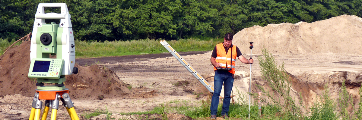
Network Data Services
Transparent, certified processes and a high degree of quality distinguish us. We always adapt to the individual requirements of our customers, e.g. with regard to presentation or attribution. With professional data capture and testing tools and a trained eye, we quickly recognise contradictions in the map and eliminate them.
Even complex projects are completed reliably within the specified time and cost frame. The result: a high degree of customer satisfaction and long-term customer relationships with a high level of mutual trust.
88 % Customer Satisfaction in the area of network data services
Top 3 of our Offers


Our Range of Services:
- Inventory documentation of networks and utility assets of all sectors in all common GIS (detail and overview maps as well as internals, facility cadastre, etc.)
- Integration of geodata (base map)
- Tools and procedures to increase productivity and quality
- Management of projects and overseas service providers
- Data update and geodata management (also on site)
- Consolidation of several utility divisions or map levels to form a homogeneous database
- Thorough quality inspection and fault-clearance
- Supplement of attribute or condition data
- Data preparation for the network calculation
- Data migration
- Network adjustment
- ETRS89/UTM transformations
The future use of your ALKIS base map solution for network documentation should be tailored to your individual requirements and technologies.
more- Technical advice on tenders / preparation of specifications
- Creation of data models
- Technology consulting
- Process analysis
- Know-how transfer through practical workshops and employee coaching
- Utilisation of GIS data for asset management and network services
- Web enquiries and mobile applications
- Take-over of individual subtasks or functional areas of network documentation
- Operation of the GIS environment
- Supply of data as OGC-compliant services for integration
- Uniform data supply over several GIS
- Provision of GIS enquiry solutions
- Bundling of internal and external data suppliers via web portals
References (in extracts)
Water Utilities Berlin
3,200 km Wastewater inventory map
Target System: IBM GTISELE Emscher Lippe Energie GmbH
6,600 km Electricity inventory map
Target System: ESRI/ ArcFM-UTEWR GmbH, Remscheid
2,200 km Electricity, gas and water supply network
Target System: Smallworld GISGELSENWASSER AG
1,900 km Water supply network
Target System: Smallworld GISMDN Main-Donau Netzgesellschaft mbH, Nuremberg
1,000 km Electricity network inventory single-line module, 5,000 km Low voltage overview map, 3,000 Electricity station's internals, 1,200 km Communication network, overview map
Target System: Smallworld GISNBB GmbH, Berlin-Brandenburg
13,000 km Pipeline network
Target System: Smallworld GISNetze BW GmbH, Stuttgart
9,000 km Electricity network
Target System: ArcGIS/OracleNEW, Mönchengladbach
Electricity internals for substations and cabinets
Target System: Smallworld GISPublic Utilities Bielefeld GmbH
8,000 km Electricity network
Target System: Smallworld GISPublic Utilities Coesfeld GmbH
1,100 km Electricity, gas and water supply network
Target System: Smallworld GISPublic Utilities Düsseldorf Netz
8,000 km Electricity inventory map, 2,500 km gas/water inventory and overview map, 3,500 Electricity stations' internals, 3,500 Stations in the electricity schematics medium voltage, 5,500 km Electricity single-line map
Target System: Smallworld GISPublic Utilities Herne AG
2,700 km Electricity and gas network
Target System: Smallworld GISSTAWAG
1,200 km Electricity network recording
Target System: Smallworld GISSWM Infrastructure GmbH, Munich
5,200 km Electricity network, 2,100 km Gas network
Target System: Smallworld GISWestfalen Weser Netz GmbH
1,700 km Gas and water supply network
Target System: Smallworld GISWestnetz GmbH
16,000 km Electricity network
Target System: SICAD/Oracle
Peter Knoche
Division Manager Network Data Services, Sales Representative
Your Network Data is in the Best Hands with Mettenmeier!